


今天给大家讲的是google earth查阅谷歌地球历史地貌的设置方法,对谷歌地球感兴趣的同学们就一起学习下具体方法吧!
google earth查阅谷歌地球历史地貌的操作教程

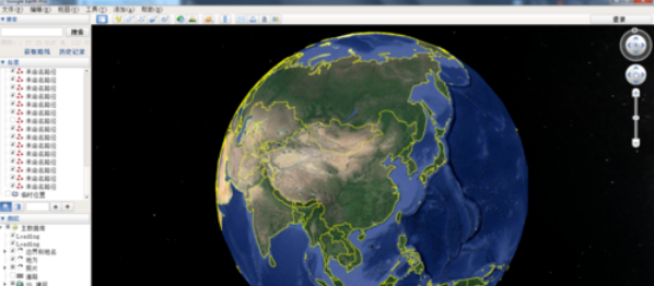
我们需要打开谷歌地球软件,点击进入你所要找到的区域。
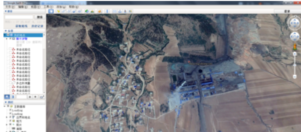
这时我们看到的是最新的拍摄照片,在图的下方拍摄时间及该区域所在的经纬度,方便我们确认位置。
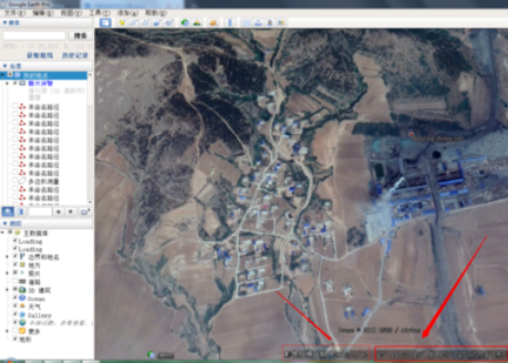
接着我们要查看以前该区域的历史地貌是什么样子时,点击上方工具栏里面的显示历史图像。
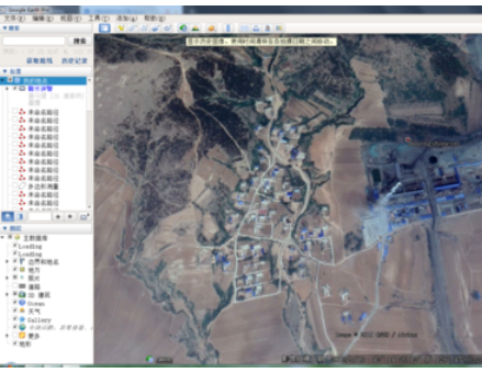
然后利用鼠标点击后,会弹出一个工具条,上面会有一段时间的显示,跨度会是几年。
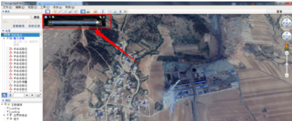
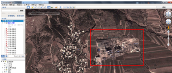
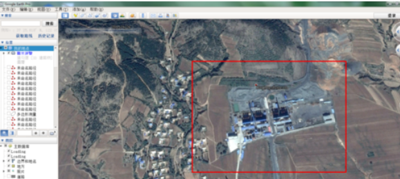
再利用鼠标点击工具条上面白色的节点,你就会看到历史的拍摄图形,图中的地貌也会发生相应的变化。
但是我们要注意的是我们不能自定义的选择时间,只能再给定的几个时间节点上选择,因为谷歌地球不能反应每时每刻的变化。
根据上文为你们描述的谷歌地球(google earth)查阅谷歌地球历史地貌的详细操作步骤,你们自己也赶紧去试试吧!